Calcata
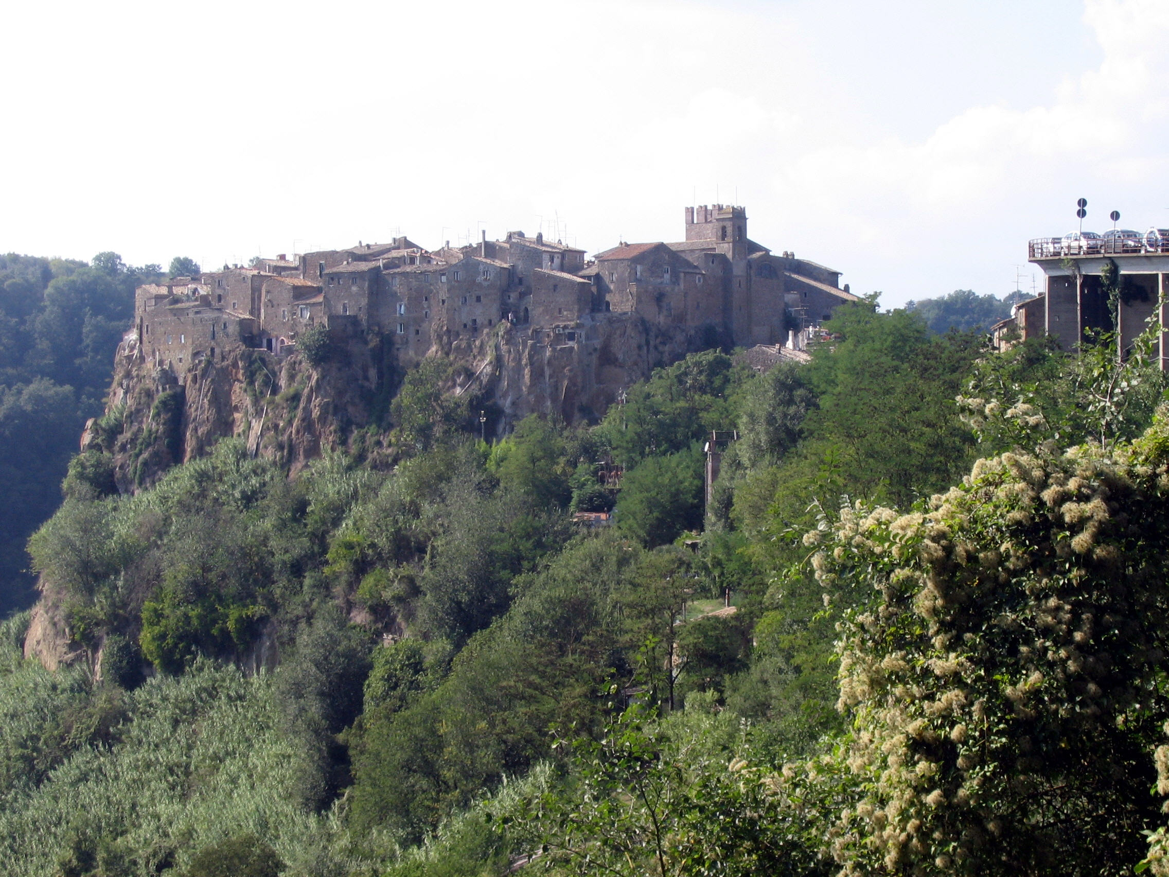
The historic settlement of Calcata stands on volcanic rock in the Treja valley. Its historic settlement includes tuff houses and streets paved with river cobbles. The square and church have a Renaissance layout, while the baronial palace was reworked between the eighteenth and nineteenth centuries.

From the source
The historic settlement of Calcata stands on volcanic rock in the Treja valley. Its historic settlement includes tuff houses and streets paved with river cobbles. The square and church have a Renaissance layout, while the baronial palace was reworked between the eighteenth and nineteenth centuries.
- Object type under review
- Italy
Editorial reading
Editorial interpretation: The relationship between the rock setting, paving and altered palace offers a way to consider layers of village form. Reading these features together avoids assigning one date to the whole historic settlement.
Recommendation
Read the site through the features discussed here, then consult the responsible institution's current visitor information. Confirm the areas and arrangements relevant to your visit before travelling.
Location and visiting
Confirm current opening times, access and reservations with the place itself. These details follow the source record.
Sources
Source record: Municipality — settlement monuments
Source record: Wikidata identity
Source record: Wikimedia Commons photograph and licence
Explore further
Nearby in this world
No other published places in this world within this radius.